© Leica TPS-System 1000 Programs-2.3.1en 87
IV
EL
AH
OH
BS
SM
AS
FS
Plot
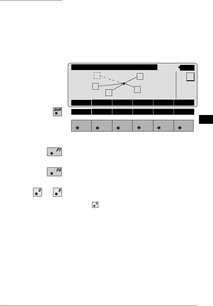
Generates a plot showing the measurement
configuration. The station point is in the center and the
top of the sketch shows the direction of Grid north. The
sketch is true in angular but not true in distances. Points
are numbered sequentially in the order in which they
were measured. Points not used in the calculation are
marked with a dotted line.
FREST\ PLOT
14:03
RECLC MEAS
F1
F2 F3
F4
F5 F6
HELP
MC
Recalculate the solution and return to the dialog
"CALCULATION RESULTS" (see page 83).
Measure more points. The program will recall the
"TARGET POINT" dialog. (see page 80).
Toggle any point ON or OFF by pressing the numeric
key corresponding to the sequence number of the point.
Note, that represents point 10.
...
1
5
4
3
2


