


240 TPS-System 1000 Programs-2.3.1en © Leica
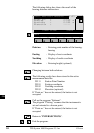
IV
EL
AH
OH
BS
SM
AS
FS
BL
HB
KM
FB
SA
PZ
LB
TB
CO
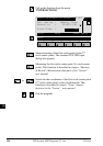
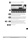
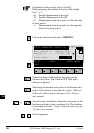
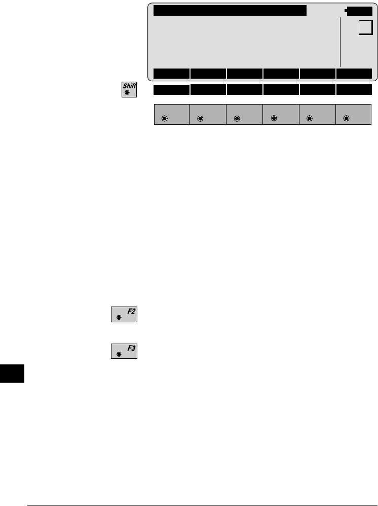
The following dialog box shows the results:
COGO\ OFFSET RESULTS
14:03
F1
F2 F3
F4
F5 F6
HELP
MC
Point no. : -----
Easting : 0.000 m
Northing : 0.000 m
Elevation : -----
Distance : 0.000 m
Offset : 0.000 m
NEW STORE STAKE
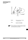
Point no. : Entering point number of the base
point
Easting : Display of east coordinate
Northing : Display of north coordinate
Elevation : Entering height (optional)
Distance : Display difference in length/abscissa
(L)
Offset : Display lateral deviation/ordinate (Q)
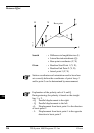
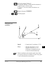
Entering the new lateral point with reference to the
already existing basis line.
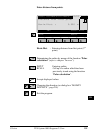
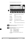
The following results have been stored in the active
measurement data file:
WI 11 Station Point Number
WI 81 Easting coordinate
WI 82 Northing coordinate
WI 83 Elevation (optional)
If "Point no." has not be entered, the button is not
occupied.