


248 TPS-System 1000 Programs-2.3.1en © Leica
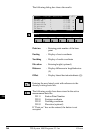
IV
EL
AH
OH
BS
SM
AS
FS
BL
HB
KM
FB
SA
PZ
LB
TB
CO
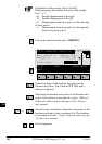
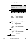
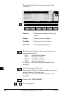
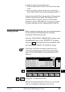
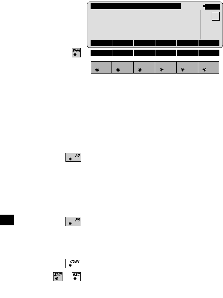
The following dialog box shows the results of the
calculation:
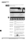
COGO\ RADIUS PT RESULTS
14:03
F1
F2 F3
F4
F5 F6
HELP
MC
Point no. : -----
Easting : 0.000 m
Northing : 0.000 m
Elevation : -----
Radius : 0.000 m
STORE STAKE
Point no. : Entering point number of the circle
centre
Easting : Display of east coordinate
Northing : Display of north coordinate
Elevation : Entering height (optional)
The following results have been stored in the active
measurement data file:
WI 11 Station Point Number
WI 81 Easting coordinate
WI 82 Northing coordinate
WI 83 Elevation (optional)
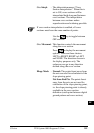
If "Point no." has not be entered, the button is not
occupied.
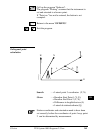
Call up the program "Stakeout".
The program "Plotting" assumes that the instrument is
set and oriented to a known point.
If "Point no." has not be entered, the button is not
occupied.
Return to the "COGO MENU".
Exit the program.