32 TPS-System 1000 Programs-2.3.1en © Leica
OH
Record the following results into the active file:
WI 11 Station Point Number
WI 25 Orientation correction
WI 84 Station Easting
WI 85 Station Northing
WI 86 Station Elevation
WI 87 Last reflector height used
WI 88 Instrument Height
Sketch of the station and the reference points used.
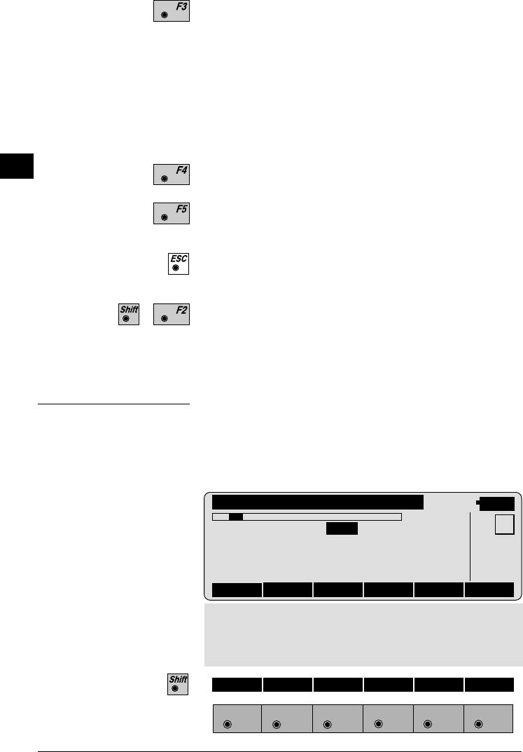
Show the results of individual measurements on the
screen (see dialog "More Information").
Measure more points. The program will recall the
"TARGET POINT" dialog.
Select between the "Robust" method and the "Variati-
on" method.
More Information
Display the residuals of individual measurements. You
can also disable points from the calculation of
orientation or height as well as delete erroneous
measured points.
ORINT\ MORE INFORMATION
14:03
RECLC <-- --> MEAS DEL NO
2/10
Use for HT. : YES Status: ON
Point no. : Point01
Error flag : NONE
∆ Hz : 0°00'03"
∆ Distance : 0.050 m
MC
∆ Height : 0.020 m
Refl.Height : 1.555 m
Easting : 991.427 m
Northing : 1995.162 m
Elevation : 402.466 m
F1
F2 F3
F4
F5 F6
HELP


