© Leica TPS-System 1000 Programs-2.3.1en 283
IV
EL
AH
OH
BS
SM
AS
FS
BL
HB
KM
FB
SA
PZ
LB
TB
CO
RP
Stakeout the point
ROAD+\ POINT COORDS
14:03
MC
Chainage : 0.000
Refl.Height : 1.500 m
Easting : 331.000 m
Northing : 335.000 m
Elevation : 31.000 m
STAKE EDIT
F1
F2 F3
F4
F5 F6
HELP
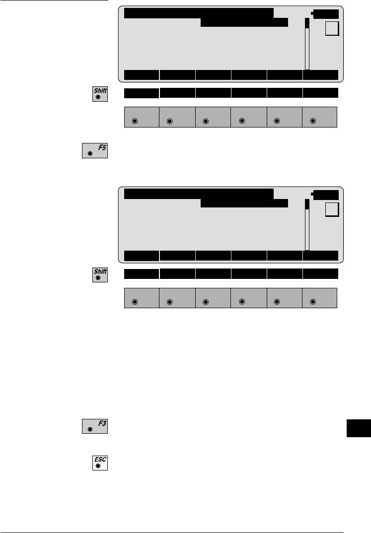
The stakeout program will start with the polar stakeout
method being used.
STAKE\ POLAR STAKEOUT
14:03
MC
Target no. : 4
∆ Hz : 0°00'00"
∆ Dist : 0.007 m
∆ Height :FILL 1.320 m
Elevation : 32.700 m
ALL DIST REC TARGT αNUM
F1
F2 F3
F4
F5 F6
HELP METHD PLOT
With the polar method, the theodolite is turned until the
displayed horizontal circle reading is zero degrees. The
rod person is moved on line and a distance is measured.
The results are displayed telling you how far from the
real point the prism pole is. Move the rodperson until
the distance shows near zero. The CUT/FILL value is
displayed along with the elevation of the point.
Record the point, and the "CROSS SECTIONS" display
returns.
Move to a new chainage. The "CHAINAGE & OFF-
SET" display returns.


