Honeywell
MK XXII EGPWS Installation Manual
CAGE CODE: 97896 SCALE: NONE SIZE: A DWG NO: 060-4314-225 REV: C
SHEET
233
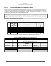
E 5.3.8 CATEGORY 8, RADIO ALTITUDE INPUT SELECT
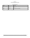
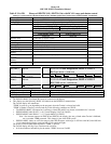
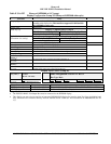
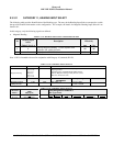
The following table provides identification of the Radio Altitude type. The entry in the Radio Altitude Type corresponds to a
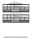
table that provides detailed information on the configuration. For example, the details for Radio Altitude Type #1 are found
in Table 0-1. ARINC 552, ALT 55 and digital ARINC 429 compatible Radio Altimeters are supported. ALT 50 Radio
Altimeters are not supported due to the maximum 2000-foot operation
CAUTION:
ALT 55 radio altimeters use an avarage altitude tracking technique that does not track the nearest terrain. This can
produce errors up to 200 to 300 feet in high bank turns and mountainous terrain. This characteristic may degrade
EGPWS performance for Modes 1 thru 6.
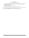
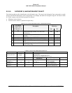
In this category, only the following signals are defined:
•
Radio Altitude source selection, input scaling, and associated validities.
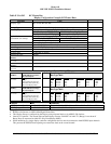
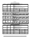
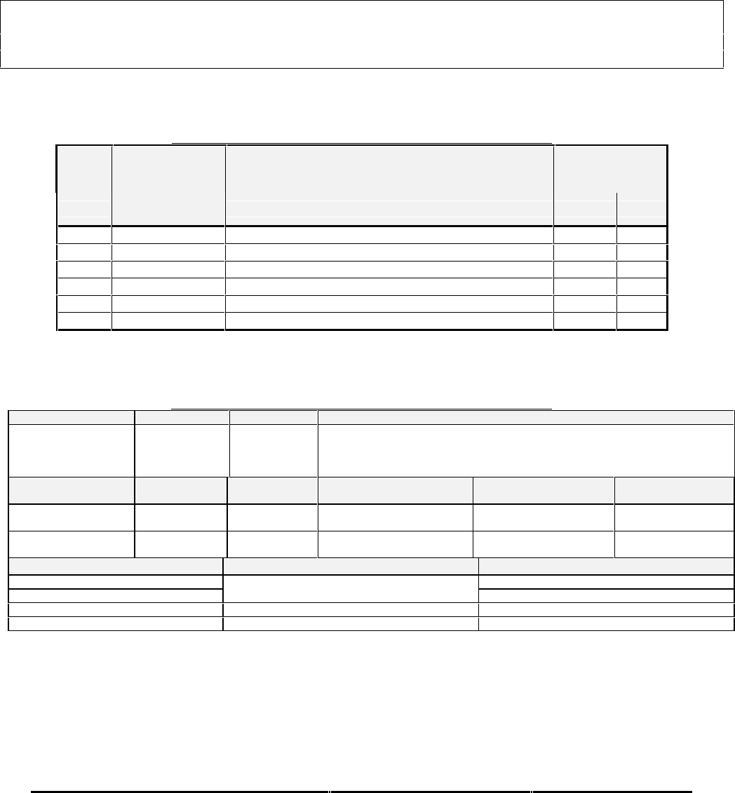
TABLE E 3.1.8: RADIO ALTITUDE INPUT SELECT FOR EGPWS MKXXII
ID
Radio Altitude
Type
Description Effectivity
(Table E 3.1.8-
x)
App. Cfg.
0 0 Analog Radio Altitude (ARINC 552) -001 -001
1 1 Analog (ALT 55) -001 -001
2 2 Digital Radio Altitude (ARINC 429) (Note 2) -001 -001
3 3 Analog Radio Altitude (RT-200/300) -001 -001
4 4 Analog (KRA 405) -003 -003
5 5 Analog (Alt 50) -010 -010
Note 2: Digital Radio Altimeters can not be used on two engine Helicopters with Digital Torque.
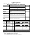
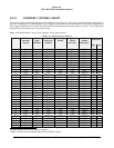
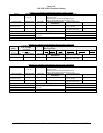
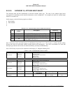
TABLE E 3.1.8-0: RADIO ALTITUDE INPUT SELECT TYPE 0 (ARINC 552)
SIGNAL CONNECTION SUMMARY DATA
Radio Altimeter #1 (+) = J1-64
(-) = J1-45
Format: ARINC 552 with Validity Flag
Input Type: Basic
Fault Designation: RADIO ALTIMETER FAULT
Validity: Radio Altitude Valid Discrete #1 (+28V)
PIN FUNCTION CONNECTION PIN TYPE CHANNEL DESIGNATION
REFERENCE
Polarity/Configuration
Radio Altitude Validity
Discrete #1 (+28V)
J1-29 Input 28V_DISC_07 >+17V = Valid
<+4.4V = Invalid
DH Discrete (Gnd) J1-33 Input GND_DISC_11 Gnd = Below DH
<not> Gnd = Above DH
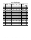
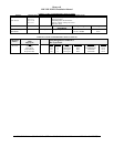
CONFIGURATION DATA
Description Value
Out of Track Maximum
2800
Out of Track Minimum
Pseudo altitude is only allowed to operate within
these limits.
-20
Pseudo Altitude Type Selects parameters for pseudo altitude engage logic
3
Field Enable Type Selects pseudo altitude field elevation
2


