D Logs summary
MiLLennium GPSCard Software Version 4.50 Command Descriptions Manual Rev 1 171
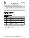
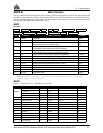
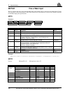
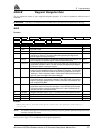
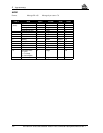
MKPA/B Mark Position
This log contains the estimated position of the antenna at detected mark impulse. It uses the last valid position and
velocities to extrapolate the position at time of mark. Refer to the GPSCard Installation and Operating Manual
Appendix for Mark Input pulse specifications. The latched time of mark impulse is in GPS weeks and seconds into
the week. The resolution of the latched time is 49 ns.
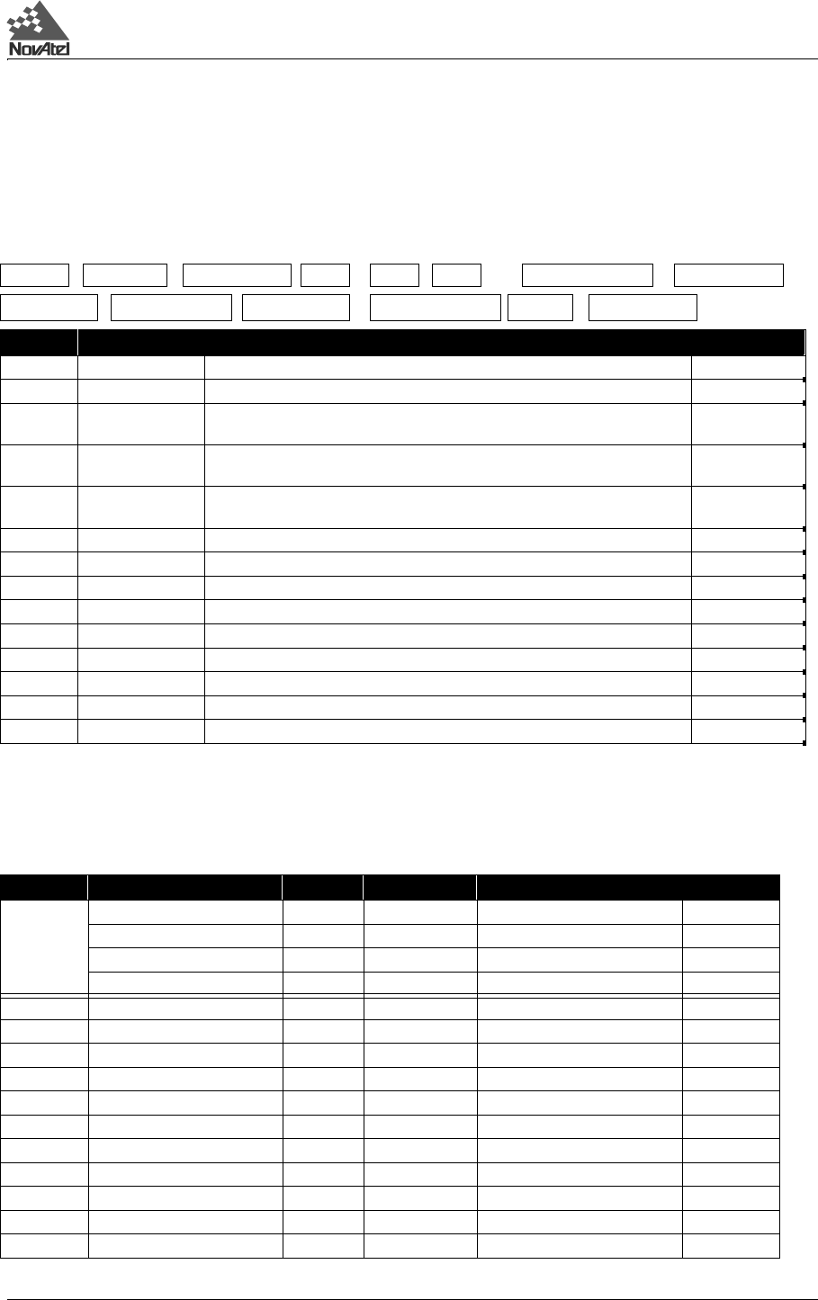
MKPA
Structure:
Example:
$MKPA,653,338214.773382376,51.11227014,-114.03907552,1003.799,-16.199,61,
7.793,3.223,34.509,0*3C[CR][LF]
MKPB
Format: Message ID = 05 Message byte count = 88
$MKPA week seconds lat lon hgt undulation datum
ID
lat std lon std hgt std sol status *xx [CR][LF]
Field # Field type Data Description Example
1 $MKPA Log header $MKPA
2 week GPS week number 653
3 seconds GPS seconds into the week measured from the receiver clock, coincident with the
time of electrical closure on the Mark Input port.
338214.773382
376
4 lat Latitude of position in current datum, in degrees/decimal degrees
(DD.dddddddd), where a negative sign implies South latitude
51.11227014
5 lon Longitude of position in current datum, in degrees/decimal degrees
(DDD.dddddddd), where a negative sign implies West longitude
-114.03907552
6 hgt Height of position in current datum, in meters with respect to MSL 1003.799
7 undulation Geoid undulation, in meters (see Figure C-6, Page 130) -16.199
8 datum ID Current datum (see Table G-2 in Appendix G, Page 234) I.D. # 61
9 lat std Standard deviation of latitude solution element, in meters 7.793
10 lon std Standard deviation of longitude solution element, in meters 3.223
11 hgt std Standard deviation of height solution element, in meters 34.509
12 sol status Solution status as listed in Table D-1 0
13 *xx Checksum *3C
14 [CR][LF] Sentence terminator [CR][LF]
Field # Data Bytes Format Units Offset
1 Sync 3 char 0
(header) Checksum 1 char 3
Message ID 4 integer 4
Message byte count 4 integer 8
2 Week number 4 integer weeks 12
3 Seconds of week 8 double seconds 16
4 Latitude 8 double degrees (+ is North, - is South) 24
5 Longitude 8 double degrees (+ is East, - is West) 32
6 Height 8 double meters with respect to MSL 40
7 Undulation 8 double meters 48
8 Datum ID 4 integer 56
9 StdDev of latitude 8 double meters 60
10 StdDev of longitude 8 double meters 68
11 StdDev of height 8 double meters 76
12 Solution status 4 integer 84


