C Commands Summary
130 MiLLennium GPSCard Software Version 4.50 Command Descriptions Manual Rev 1
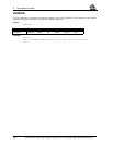
UNDULATION
This command permits you to either enter a specific geoidal undulation value or use the internal table of geoidal
undulations. The separation values only refer to the separation between the
WGS84 ellipsoid and the geoid,
regardless of the datum chosen, see the
PRTKA/B log in Chapter 3 and Appendix D.
Syntax:
Example 1:
undulation table
Example 2:
undulation -5.6
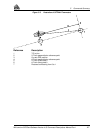
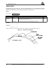
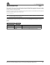
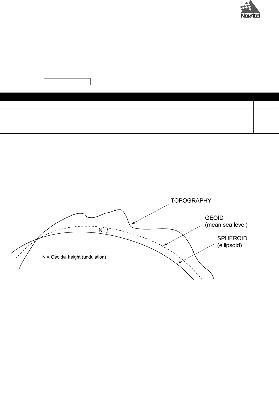
Please see Appendix A, A.2 Height Relationships for a description of the relationships in Figure C-6.
Figure C-6 Illustration of Undulation
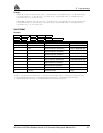
UNDULATION separation
Syntax Range Value Description Default
UNDULATION - Command
separation table
or
enter a value
Selects the internal table of undulations and ignores any previously entered value. The
internal table utilizes OSU - 89B 1.5º x ~1.5º.
A numeric entry that overrides the internal table with a value in meters.
table


